


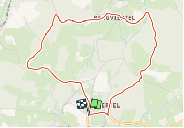

8,6 km | 11,2 km-effort

Tous les sentiers balisés d’Europe GUIDE+


Application GPS de randonnée GRATUITE
 SityTrail
IGN / Instituts géographiques
SityTrail World
Le monde est à vous
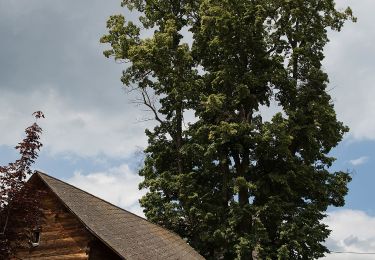
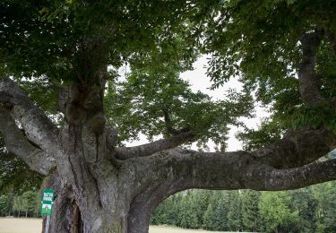
Randonnée A pied de 5,2 km à découvrir à Styrie, Bezirk Weiz, Miesenbach bei Birkfeld. Cette randonnée est proposée par SityTrail - itinéraires balisés pédestres.
http://wiki.openstreetmap.org/wiki/WikiProject_Austria/Wanderwege
Site web: http://www.tourismus-miesenbach.at/bewegung/wandern


A pied
A pied
A pied
A pied
A pied
A pied
A pied
A pied

A pied